West Ridge of Atlantic Peak, December 23rd 2016
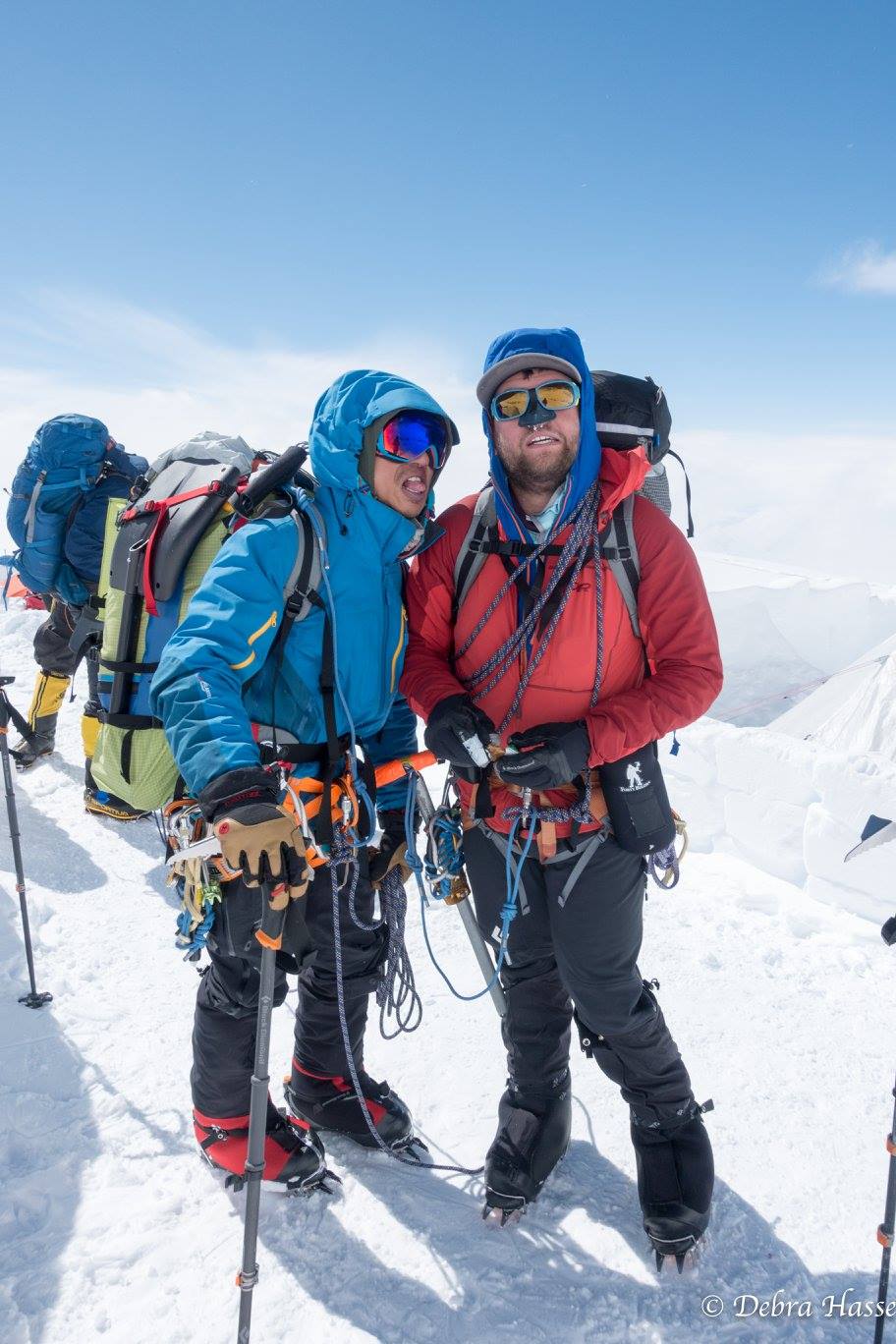
The Alaska 2016 crew reunited in Summit County, Colorado for a beautiful Christmas Weekend climb of one of Colorado's high 13ers, Atlantic Peak.
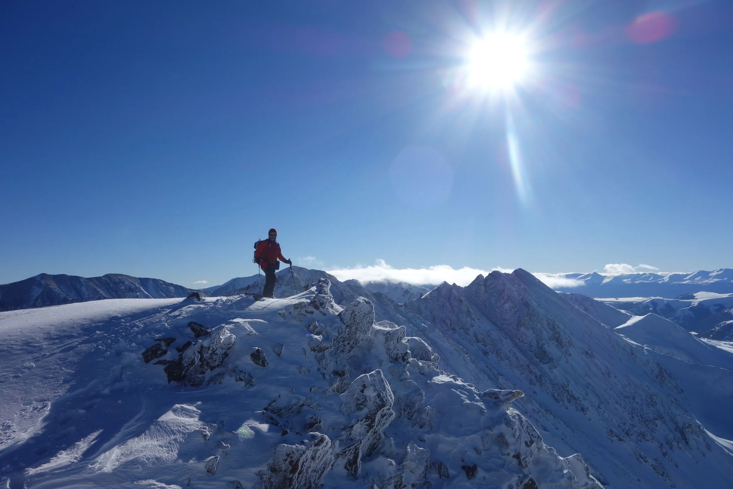
Atlantic Peak (13,841') is one of the eight high 13ers of the Tenmile Range and one of the magnificent peaks that form the walls of the popular Mayflower Gulch. In the summer, the West Ridge route requires a bit of off-trail bushwacking up into the basin between Pacific Peak and Atlantic Peak, then a straightforward class 2 or 2+ scramble to the lofty summit. In the winter, gaining the ridge has different challenges: bushwacking becomes deep trail-breaking through avalanche threatened terrain. Depending on snow cover, the ridge itself is largely a snow climb with occasional steps of rock to be navigated. We found deep snow on the approach and snow covered talus on this late December trip that lead to slow going.

Our winter route drawn on Caltopo. We aimed to minimize our risk of avalanche danger by avoiding potential slopes. This is slightly different than the summer route, which would ascend Pacific Creek to about 12,300' and then hook back climbers right to gain the ridge. The shading on this map represents slope angles: the darker the color the steeper the slope.
We left the Mayflower Gulch trailhead at 6:30am on skis and set a leisurely pace. This was only my fourth day at altitude and we had a beautiful forecast, so we didn't have a reason to rush.

Skinning up the Mayflower Gulch Trail

We left the Mayflower Gulch Trail at about 11,400' and broke trail across the Gulch toward Pacific Creek. We had deep snow the entire way to the ridge. My dad put more than 10,000 miles on his road bike in 2016 so we made him break trail the whole way.

Crossing Mayflower Gulch

Skinning along our planned route to the right of Pacific Creek

We were able to avoid most of the avalanche danger. We had to cross an unavoidable slope around 11,900', but it was West facing: a "safe" aspect according to that day's CAIC forecast.


Around 12,000' we ran out of snow and had to switch to booting. 1800' to go up the ridge.
We stashed our skis at 12,000' and continued on foot. The terrain alternated between deep snow and lightly covered talus. The inconsistent footing was tiring, but as mentioned before we were in no rush. The next 1800' up the ridge was pure awesome.

Leaving our ski cache at 12,000' with Pacific Peak (13,950') glowing ahead of us

Typical conditions on the lower ridge. Tough going in ski boots.

Photo: Jim Hasse

Testing out my new puffy at a rest stop. It's amazing, maybe even worth the ridiculous price tag.
photo: Jim Hasse

Above about 12,900' the ridge narrows and flattens a bit. The stretch between 12,900' and 13,200' is long


Bypassing an obstacle around 13,100'


A small rock step around 13,200'


Around 13,250' you come to a short section of somewhat knife edge snow ridge. Very cool feature.

Another steep section between 13,250' and 13,500'

Looking back on the ridge from about 13,300'

Around 13,450' we left the ridge crest to bypass an obstacle and ascended steep, loose, snow covered talus to regain the ridge. This turned out to be a mistake, it likely would have been easier to stay on the ridge crest.
Unfortunately, Paul was really feeling the altitude and decided to turn around at about 13,550', just 300' below the summit. Dad and I debated turning around as a group, but given the straightforward nature of the ridge and the perfect weather, we decided it was safe enough for us to continue to the summit and catch him on the descent.

The last 300' to the summit

Dad on the summit

Myself finally reaching the summit at 2:15pm. 7 hrs and 45 minutes after leaving the trailhead.
Photo: Jim Hasse
Dad and I didn't hang out on the summit long before we started our descent to try to catch Paul. The ascent took us 7 hrs and 45 minutes, and the total descent took us a little over 3 and a half hours. Descending the ridge through the snow was significantly faster than ascending.


Dad retracing the knife edge stretch of ridge


Almost back to our ski cache at 12,000'
We reached the ski cache at 12,000' at 4:15pm, just about 2 hours after reaching the summit. We really didn't want to ski the trees back in the dark, so we rushed to switch back to skis. Our awesome day was capped with some incredible powder skiing back to the Gulch. Dad managed to break a ski pole, so I gave him one of mine and skied back with one pole.

Switching back to skis in the late afternoon light


Skiing awesome powder back to the Gulch


Skinning back to the Mayflower Gulch Road in the twilight

Looking back at Atlantic Peak from Mayflower Gulch
We reached the car at 5:40pm after 11 hours and 10 minutes on the go. The trip went very well. The terrain was inconsistent due to the snow cover on the ridge and that made the going slow. I didn't mind so much since I wasn't terribly well acclimated. We carried ice axes and crampons but found our ski poles to be sufficient, that is until Dad broke one of his and got out his ice axe. If you don't carry poles then I would recommend an ice axe. I think microspikes might have made the trip a little easier, but weren't required. Our ski boots took a beating, though Dad's La Sportiva Spectres were much worse off at the end than my BD Quadrants or Paul's Scarpa Maestrale's.

Torn up soles on my dad's LS Spectres. They don't seem durable enough to handle this kind of punishment.


